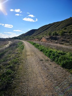
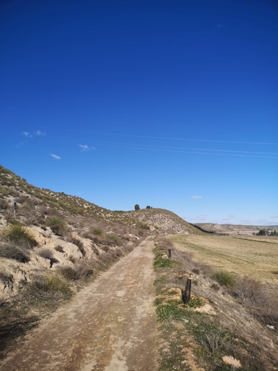
Flat territory which mainly runs alongside the old Estremera canal. It crosses the municipalities of Villamanrique de Tajo y Fuentidueña de Tajo. In some parts, users need to cross motorised roads.
Total distance: 42503 m Total climbing: 507 m Total descent: -525 m
Points of interests: Piquillos Castle, Panoramic Viewpoint, Salobre Fountain, Cave Houses, Canal Aqueduct, Valdehondillo Stream, Castillejo Hill, Panoramic View of the Tagus, Irrigated Crops. Very close connection with the Tagus Nature Trail (Camino Natural del Tajo).
Connection with Greenway: Tren de los 40 días Greenway and Tajuña Greenway. There are several usable tunnels are preserved in the Municipality of Estremera for the old 40-day train.
Regarding the public-private projects to transform this old irrigation canal into a Greenway, the transformation works were carried out years ago as a bicycle-pedestrian path, related to the modernization plan for the irrigable area, but it is in poor condition and without maintenance.
There is an existing short itinerary already along a small section of the route called Ruta Norte del Tajo y Canal de Estremera (North Route of the Tajo and Estremera Canal), where people mainly hike.