Ellera Corciano-Tavernelle Val Nestore Ex-railway
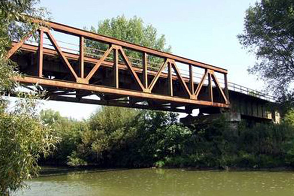
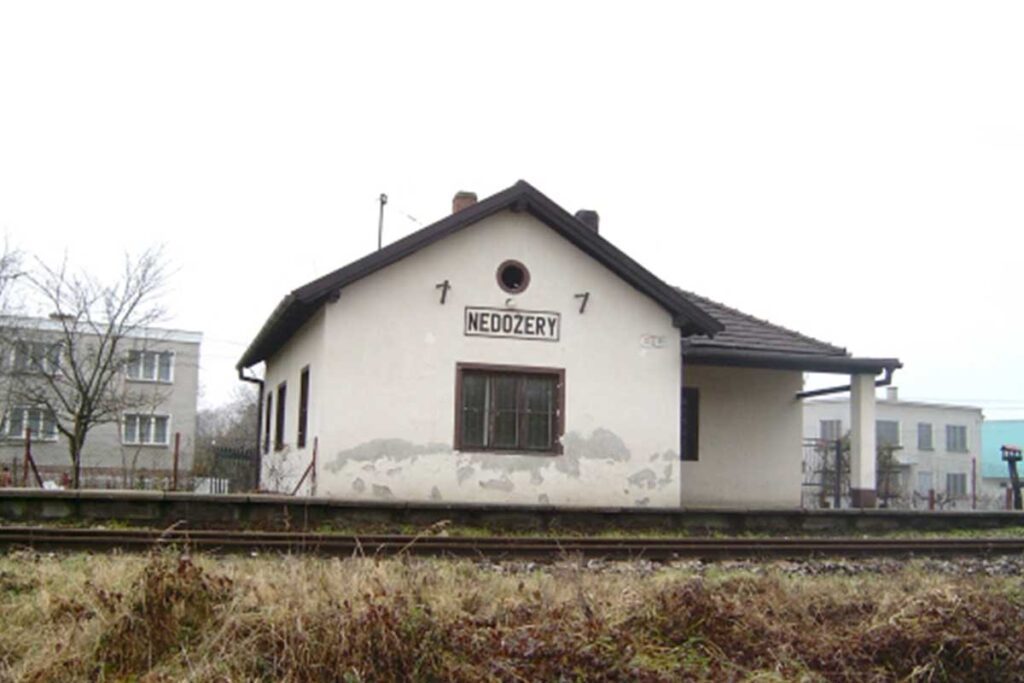
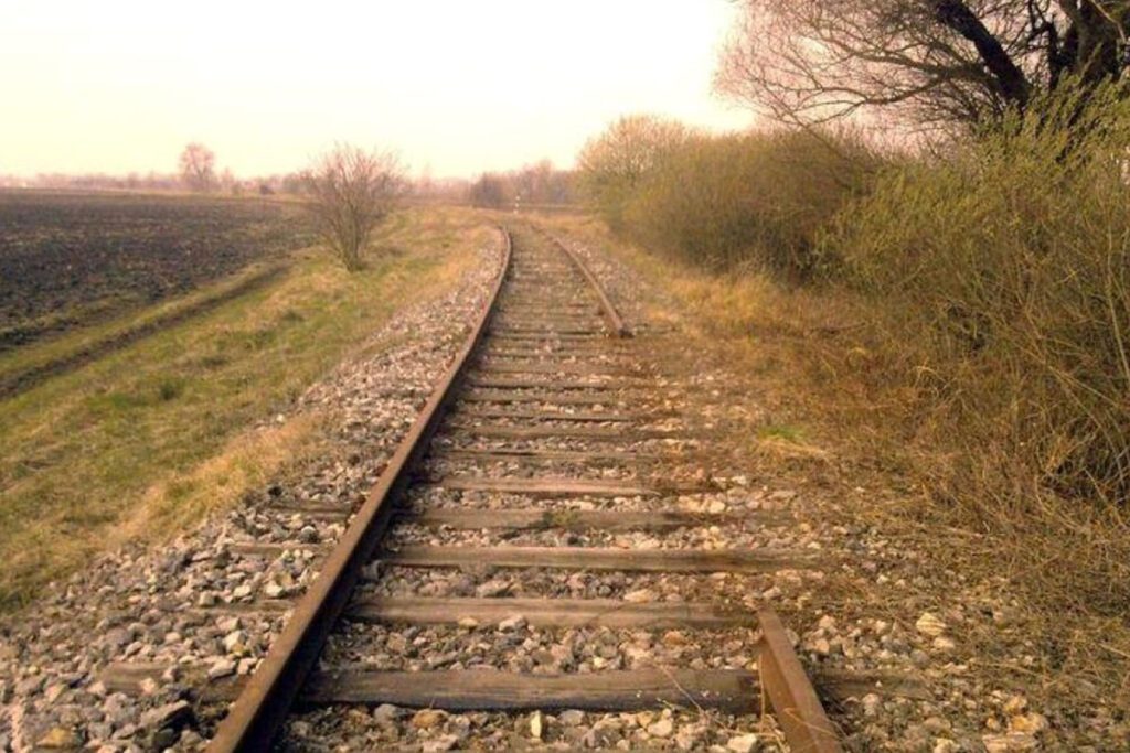
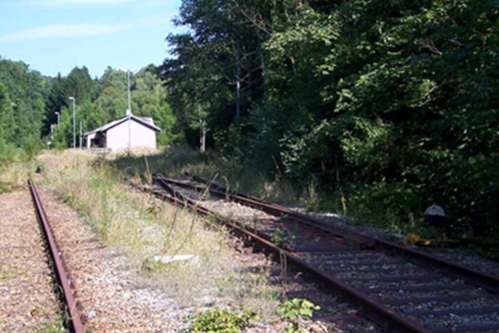
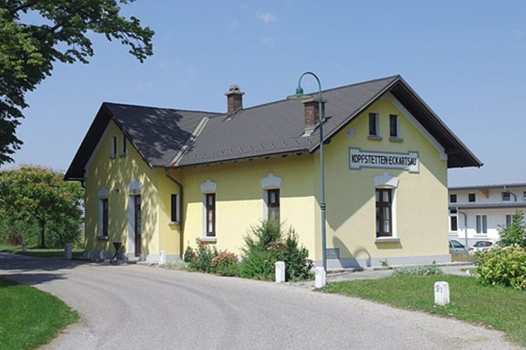
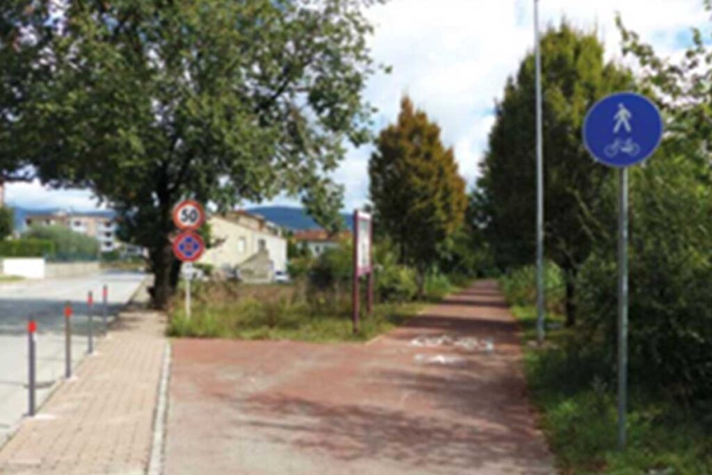
website: / website: / website: website: website: website: website: / / / / / Owner of the abandoned railway: Rete Ferroviaria Italiana (RFI) ( Italian railway infrastructure manager) Owner of the abandoned railway: Rete Ferroviaria Italiana (RFI) ( Italian railway infrastructure manager) Owner of the abandoned railway: Owner of the abandoned railway: Owner of the abandoned railway: Owner of the abandoned railway: Owner of the abandoned railway: Rete Ferroviaria Italiana (RFI) ( Italian railway infrastructure manager) Rete Ferroviaria Italiana (RFI) ( Italian railway infrastructure manager) Rete Ferroviaria Italiana (RFI) ( Italian railway infrastructure manager) Rete Ferroviaria Italiana (RFI) ( Italian railway infrastructure manager) Rete Ferroviaria Italiana (RFI) ( Italian railway infrastructure manager) gpx file: gpx file: gpx file: gpx file: gpx file: The Ellera-Tavernelle railway was single-track railway line that connected Ellera-Corciano station with Tavernelle, running for 21 km through the valley of the Nestore River. The line remained an isolated segment and was abandoned only 7 years after its activation. The railway track is characterized by short rectilinear sections with no particular difficulties. The original railway trackage has been almost completely dismantled. Many buildings and cantoniere houses have been sold to private individuals and local governments. The old path between the localities of Strozzacapponi and Capanne (3 km) has been converted into a greenway, by the realization of a bicycle and pedestrian path. In general local authorities show high interest in a potential re-use of the parts of the railway path still available. The ex railway line passed through the following municipalities: Ellera di Corciano, Marsciano, Piegaro and Panicale. Presence of 8 bridges. The Ellera-Tavernelle railway was single-track railway line that connected Ellera-Corciano station with Tavernelle, running for 21 km through the valley of the Nestore River. The line remained an isolated segment and was abandoned only 7 years after its activation. The railway track is characterized by short rectilinear sections with no particular difficulties. The original railway trackage has been almost completely dismantled. Many buildings and cantoniere houses have been sold to private individuals and local governments. The old path between the localities of Strozzacapponi and Capanne (3 km) has been converted into a greenway, by the realization of a bicycle and pedestrian path. In general local authorities show high interest in a potential re-use of the parts of the railway path still available. The ex railway line passed through the following municipalities: Ellera di Corciano, Marsciano, Piegaro and Panicale. Presence of 8 bridges. Total distance: 24548 mTotal climbing: 314 mTotal descent: -332 m Total distance: 24548 m Total distance: 24548 m Total climbing: 314 m Total climbing: 314 m Total descent: -332 m Total descent: -332 m The old railway crosses several villages. Visitors have the opportunity to extend their experience and visit more places: Corciano, a medieval hilltop town near Perugia, surrounded by nature and near Trasimeno Lake; Tavernelle with its buildings such as Madonna di Mongiovino Sanctuary and Collegiate Church of St. Michael; Castiglione della Valle that started out as a Benedictine monastery and then become a little village immersed in a sense of peace; Pietrafitta lake, an artificial lake, characterized by a rich fauna and archeology because of the numerous fossil remains found during the excavations. The lake has become a great attraction for hiking and fishing and it host the World carp fishing competition each year. Other relevant events : Umbria Jazz, that took place in Perugia in july; Corciano Festival that takes place in August and it is considered a small event dedicated to the visual arts, theater and music; Palio dei Somari, a little version of Siena Palio, but with donkeys that took place in Castiglione della Valle in September. The old railway crosses several villages. Visitors have the opportunity to extend their experience and visit more places: Corciano, a medieval hilltop town near Perugia, surrounded by nature and near Trasimeno Lake; Tavernelle with its buildings such as Madonna di Mongiovino Sanctuary and Collegiate Church of St. Michael; Castiglione della Valle that started out as a Benedictine monastery and then become a little village immersed in a sense of peace; Pietrafitta lake, an artificial lake, characterized by a rich fauna and archeology because of the numerous fossil remains found during the excavations. The lake has become a great attraction for hiking and fishing and it host the World carp fishing competition each year. Other relevant events : Umbria Jazz, that took place in Perugia in july; Corciano Festival that takes place in August and it is considered a small event dedicated to the visual arts, theater and music; Palio dei Somari, a little version of Siena Palio, but with donkeys that took place in Castiglione della Valle in September. The old railway crosses several villages. Visitors have the opportunity to extend their experience and visit more places: Corciano, a medieval hilltop town near Perugia, surrounded by nature and near Trasimeno Lake; Tavernelle with its buildings such as Madonna di Mongiovino Sanctuary and Collegiate Church of St. Michael; Castiglione della Valle that started out as a Benedictine monastery and then become a little village immersed in a sense of peace; Pietrafitta lake, an artificial lake, characterized by a rich fauna and archeology because of the numerous fossil remains found during the excavations. The lake has become a great attraction for hiking and fishing and it host the World carp fishing competition each year. Other relevant events : Umbria Jazz, that took place in Perugia in july; Corciano Festival that takes place in August and it is considered a small event dedicated to the visual arts, theater and music; Palio dei Somari, a little version of Siena Palio, but with donkeys that took place in Castiglione della Valle in September. Corciano Tavernelle Castiglione della Valle Pietrafitta lake The ex-railway could be suitable for a wide range of sports, such as cycling, running, walking and trekking. On the occasion of the 11th National Day of Ferrovie non Dimenticate, in 2018, many associations of the area organized the initiative Let’s Walk…Together. The event included
Ellera Corciano-Tavernelle Val Nestore Ex-railway Read More »