Douro Railway (from Pocinho till Barca de Alva)
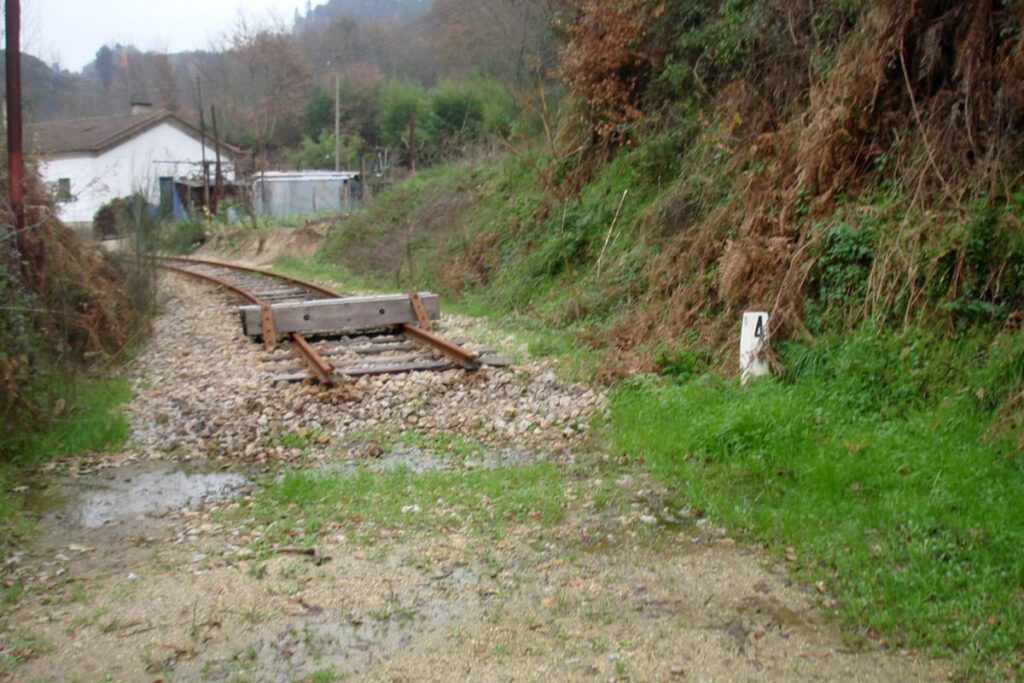
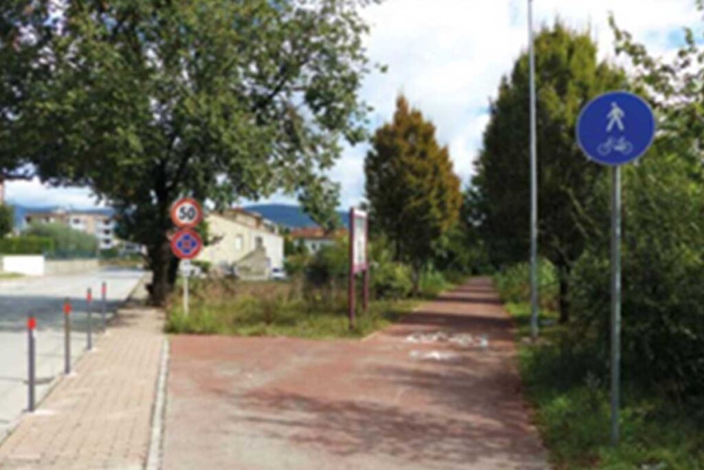
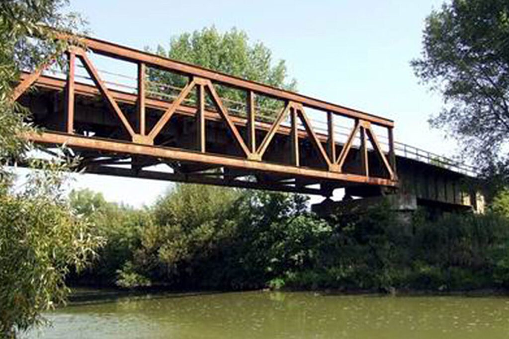
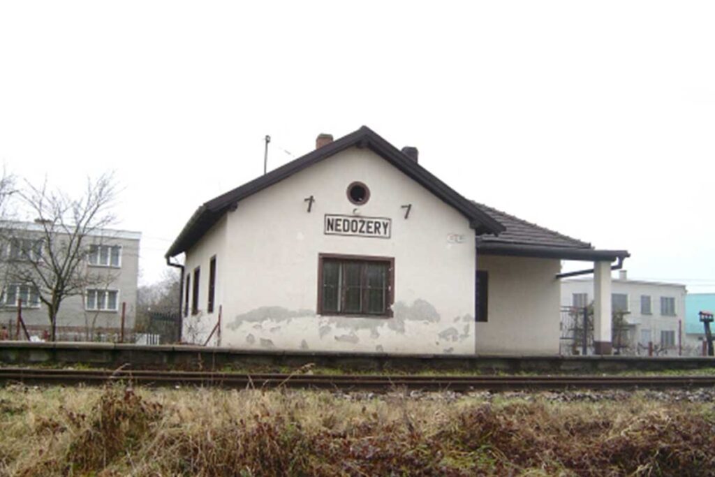
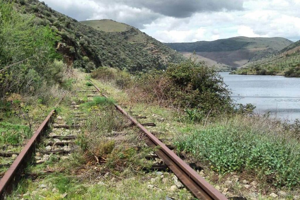
offers on website: website: website: website: website: Owner/holder of the abandoned railway: IP Património/REFER Owner/holder of the abandoned railway: IP Património/REFER Owner/holder of the abandoned railway: Owner/holder of the abandoned railway: Owner/holder of the abandoned railway: Owner/holder of the abandoned railway: Owner/holder of the abandoned railway: IP Património/REFER IP Património/REFER IP Património/REFER IP Património/REFER IP Património/REFER gpx file: gpx file: gpx file: gpx file: gpx file: The railway has a 200 Km extension from Porto till Barca de Alva near the border with Spain. The potential greenway it’s the last kilometers between Pocinho and Braca de Alva in a extension of 29 Km. There are only two big stations in the last 29 km; all the other buildings are small train stops. The railway has a 200 Km extension from Porto till Barca de Alva near the border with Spain. The potential greenway it’s the last kilometers between Pocinho and Braca de Alva in a extension of 29 Km. There are only two big stations in the last 29 km; all the other buildings are small train stops. The railway has a 200 Km extension from Porto till Barca de Alva near the border with Spain. The potential greenway it’s the last kilometers between Pocinho and Braca de Alva in a extension of 29 Km. There are only two big stations in the last 29 km; all the other buildings are small train stops. The railway has a 200 Km extension from Porto till Barca de Alva near the border with Spain. The potential greenway it’s the last kilometers between Pocinho and Braca de Alva in a extension of 29 Km. There are only two big stations in the last 29 km; all the other buildings are small train stops. Total distance: 19386 mTotal climbing: 3 mTotal descent: 0 m Total distance: 19386 m Total distance: 19386 m Total climbing: 3 m Total climbing: 3 m Total descent: 0 m Total descent: 0 m The railway it’s always near the Douro River, the view is amazing. There is a historic train from Pocinho to Porto. On the Spanish side it has been created the Iron Road for tourist use https://www.caminodehierro.es. Credits: Espirito Viajante Considering the characteristics, user can currently hike. In the future, if the line were to become a greenway, it will depend on the type of surface that can be installed on the ground. Credits: The Brave Ones Potential users are pedestrians, bicycles, mountain bikes, runners and horse riders. There is no information on a plan for trasforming this railway into a greenway. At this moment the railway it’s abandoned. The railway it’s always near the Douro River, the view is amazing. There is a historic train from Pocinho to Porto. On the Spanish side it has been created the Iron Road for tourist use https://www.caminodehierro.es. Credits: Espirito Viajante Considering the characteristics, user can currently hike. In the future, if the line were to become a greenway, it will depend on the type of surface that can be installed on the ground. Credits: The Brave Ones Potential users are pedestrians, bicycles, mountain bikes, runners and horse riders. There is no information on a plan for trasforming this railway into a greenway. At this moment the railway it’s abandoned. The railway it’s always near the Douro River, the view is amazing. There is a historic train from Pocinho to Porto. On the Spanish side it has been created the Iron Road for tourist use https://www.caminodehierro.es. Credits: Espirito Viajante Considering the characteristics, user can currently hike. In the future, if the line were to become a greenway, it will depend on the type of surface that can be installed on the ground. Credits: The Brave Ones Potential users are pedestrians, bicycles, mountain bikes, runners and horse riders. There is no information on a plan for trasforming this railway into a greenway. At this moment the railway it’s abandoned. The railway it’s always near the Douro River, the view is amazing. There is a historic train from Pocinho to Porto. On the Spanish side it has been created the Iron Road for tourist use https://www.caminodehierro.es. Credits: Espirito Viajante Considering the characteristics, user can currently hike. In the future, if the line were to become a greenway, it will depend on the type of surface that can be installed on the ground. Credits: The Brave Ones Potential users are pedestrians, bicycles, mountain bikes, runners and horse riders. There is no information on a plan for trasforming this railway into a greenway. At this moment the railway it’s abandoned. The railway it’s always near the Douro River, the view is amazing. There is a historic train from Pocinho to Porto. On the Spanish side it has been created the Iron Road for tourist use https://www.caminodehierro.es. The railway it’s always near the Douro River, the view is amazing. There is a historic train from Pocinho to Porto. On the Spanish side it has been created the Iron Road for tourist use https://www.caminodehierro.es. The railway it’s always near the Douro River, the view is amazing. There is a historic train from Pocinho to Porto. On the Spanish side it has been created the Iron Road for tourist use https://www.caminodehierro.es. The railway it’s always near the Douro River, the view is amazing. There is a historic train from Pocinho to Porto. On the Spanish side it has been created the Iron Road for tourist use https://www.caminodehierro.es. Credits: Espirito Viajante Credits: Espirito Viajante Credits: Espirito Viajante Credits: Espirito Viajante Credits: Espirito Viajante Credits: Espirito Viajante Credits: Espirito Viajante Credits: Espirito Viajante Considering the characteristics, user can currently hike. In the future, if the line were to become a greenway, it will depend on the type of surface that can be installed on the ground. Considering the characteristics, user can currently hike. In the future, if the line were to become a greenway, it will depend on the type of surface that can be installed on the ground. Considering the characteristics, user can currently hike. In the
Douro Railway (from Pocinho till Barca de Alva) Read More »